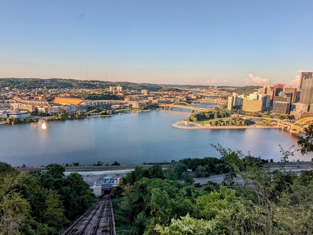
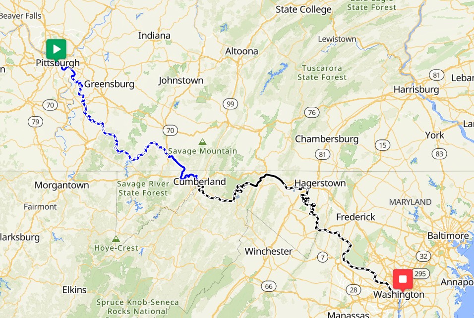
The Great Allegheny Passage, known as the GAP, is a crushed limestone cycling and hiking trail that runs 150 miles from Pittsburgh, PA, to Cumberland, MD. In Cumberland, the trail joins up with the C & O Canal Towpath, another crushed rock trail that continues 185 or so miles into Washington, D.C.
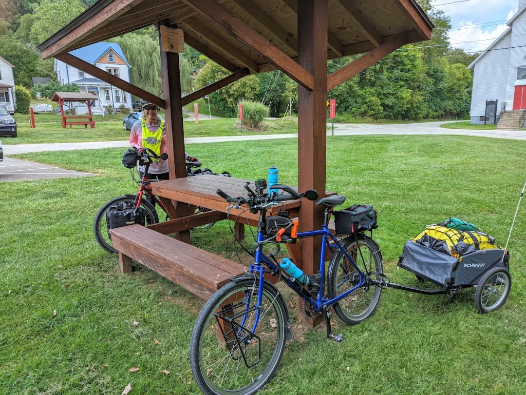
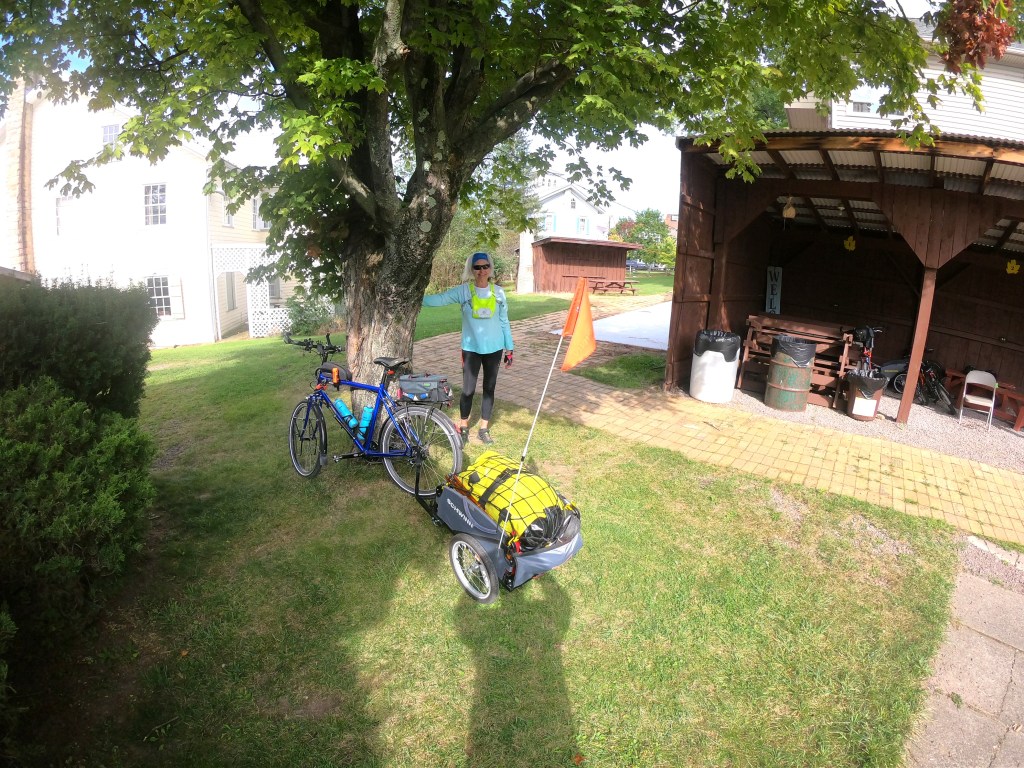
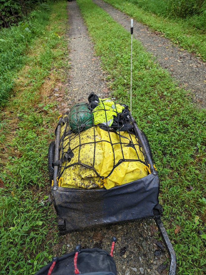
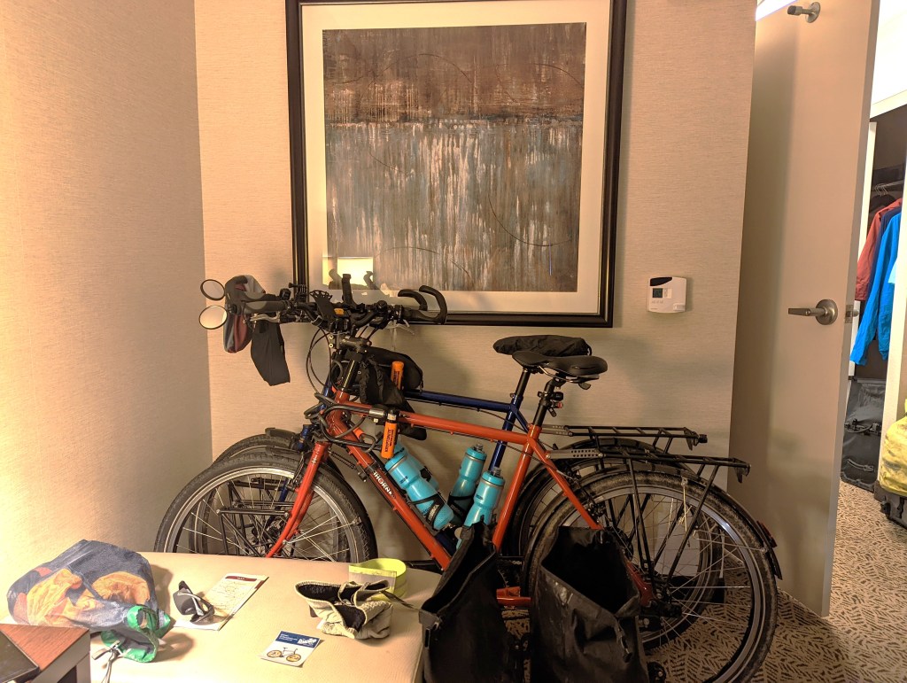
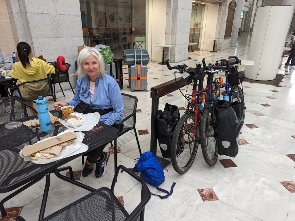
We drive to Pittsburgh with our bikes in tow to start the trail. We choose a combination of tent camping and hotel/AirBnb for the lodging on this trip so we carry quite a bit of equipment. Besides our two pannier bags each, we’re also pulling a small trailer. At the end of our ride in D.C. our plan is to bring our bikes back on Amtrak to Pittsburgh.

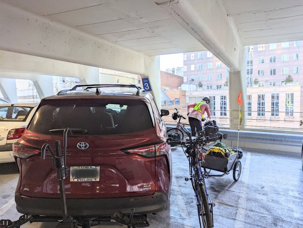
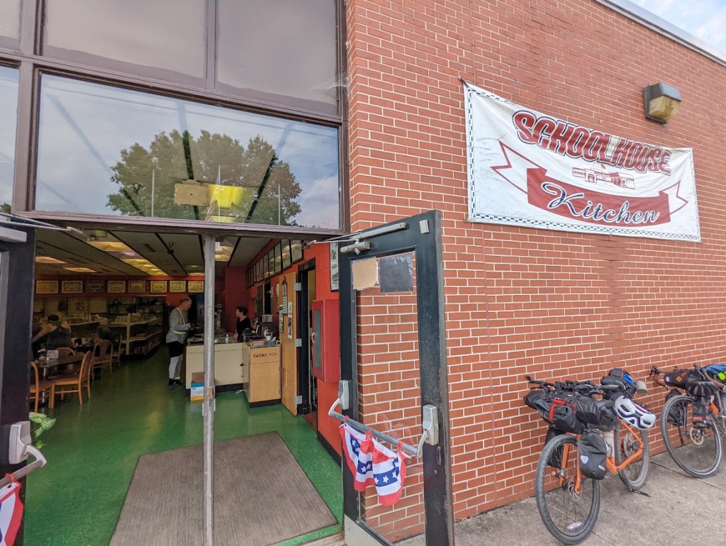
Day 1: Pittsburgh to Connellsville, 56.8 miles
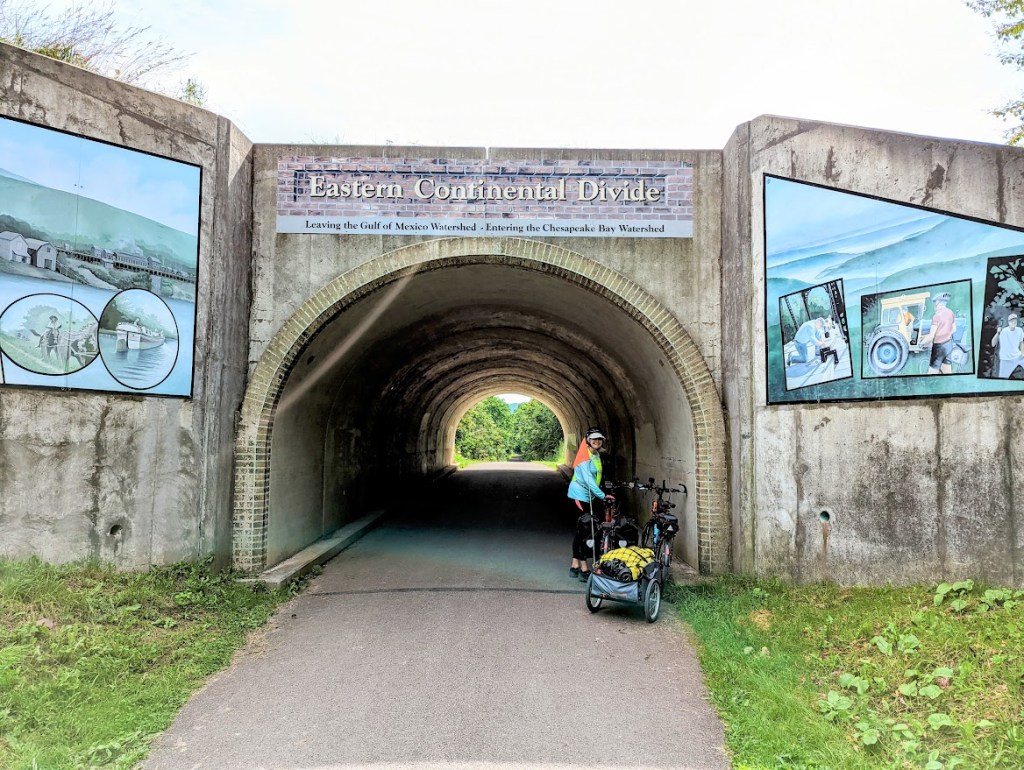
We have paved bike ways through to the outskirts of Pittsburgh and then the trail changes to a fine chat gravel, very similar to Missouri’s KATY Trail. We have a couple of normal trail detours, but nothing too unexpected. We learn, however, that until we reach the Eastern Continental Divide in about 125 miles, the trail has a slight uphill slope. Total miles to date 56.8.
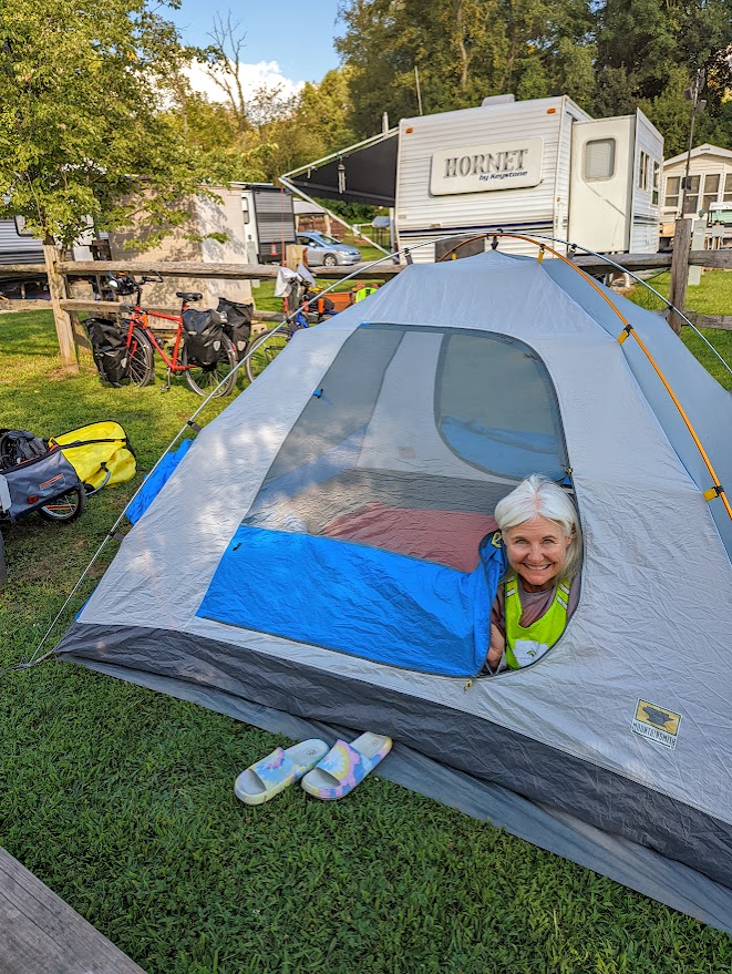
Day 2: Connellsville to Meyersdale, 61.4 miles
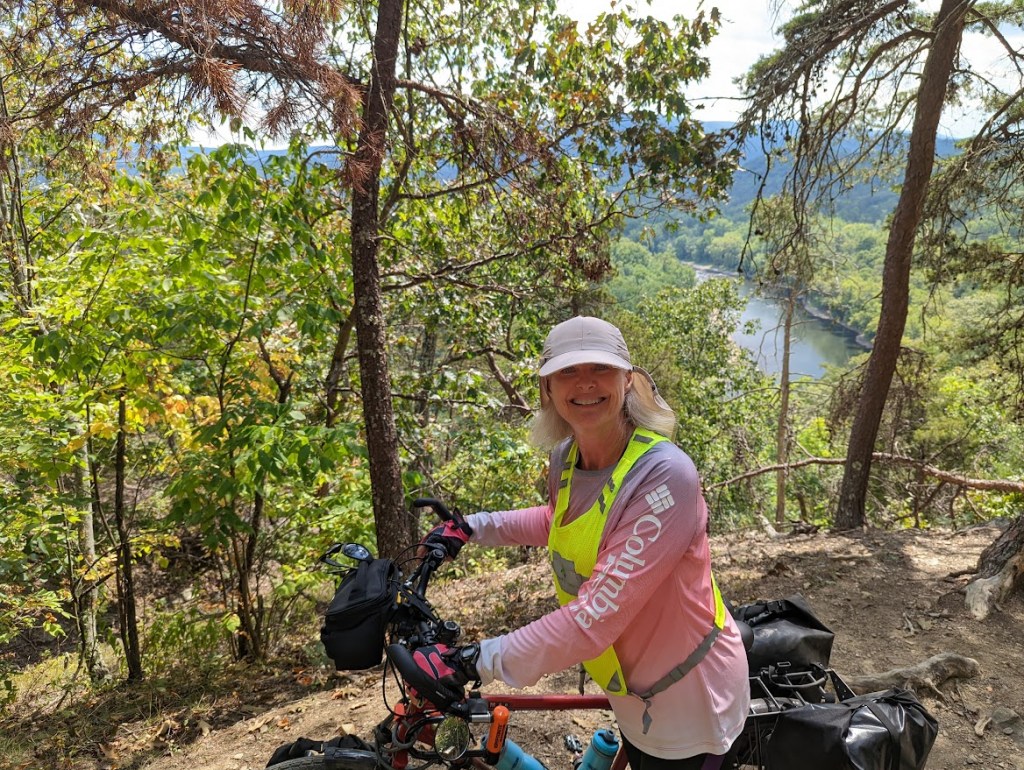
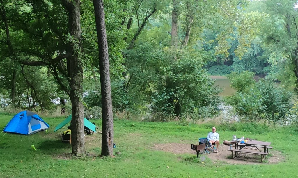
The trail continues to slope upward, getting even steeper during today’s stretch. We gain over 1,200 feet of elevation on a trail that is considered relatively flat. Our campground for the night is at the Meyersdale Maple Festival Park which is, unfortunately, a couple of miles down a long hill from the trail. It’s unfortunate because that means tomorrow we have to climb back up to get to the trail. Total MTD 118.2.

Day 3: Meyersdale to Cumberland, 32.5 miles
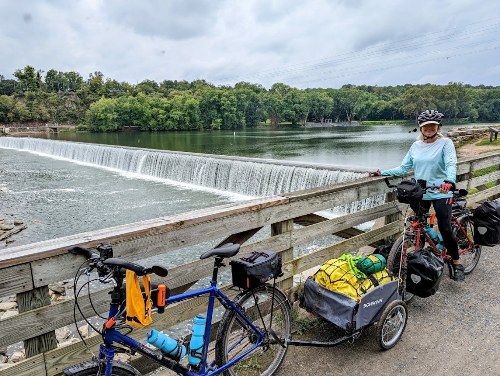
After surviving the steep ascent out of Meyersdale, most of the climbing for the rest of the trip is over. About 10 miles along, we cross the Eastern Continental Divide and from here on out the trip is flat or downhill. We feel spoiled in Cumberland tonight because we’re staying in a hotel rather than camping. Total MTD 150.7.
Day 4: Start of the C & O Canal Towpath, Cumberland to Indigo Neck Campground, 47.3 miles
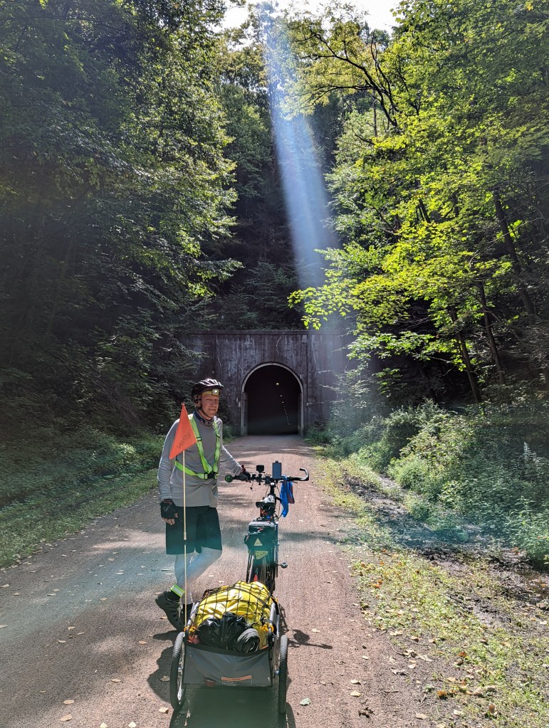
The C & O is a considerably rougher surface than the GAP’s. We find a lot more loose rocks and exposed tree roots cutting through the trail. As we approach the Paw Paw Tunnel we learn that it is closed so we end up pushing our bikes up a steep, rocky detour for about 3/4 mile. The downhill is also steep and scary as we try to keep from skidding. Total MTD 198.
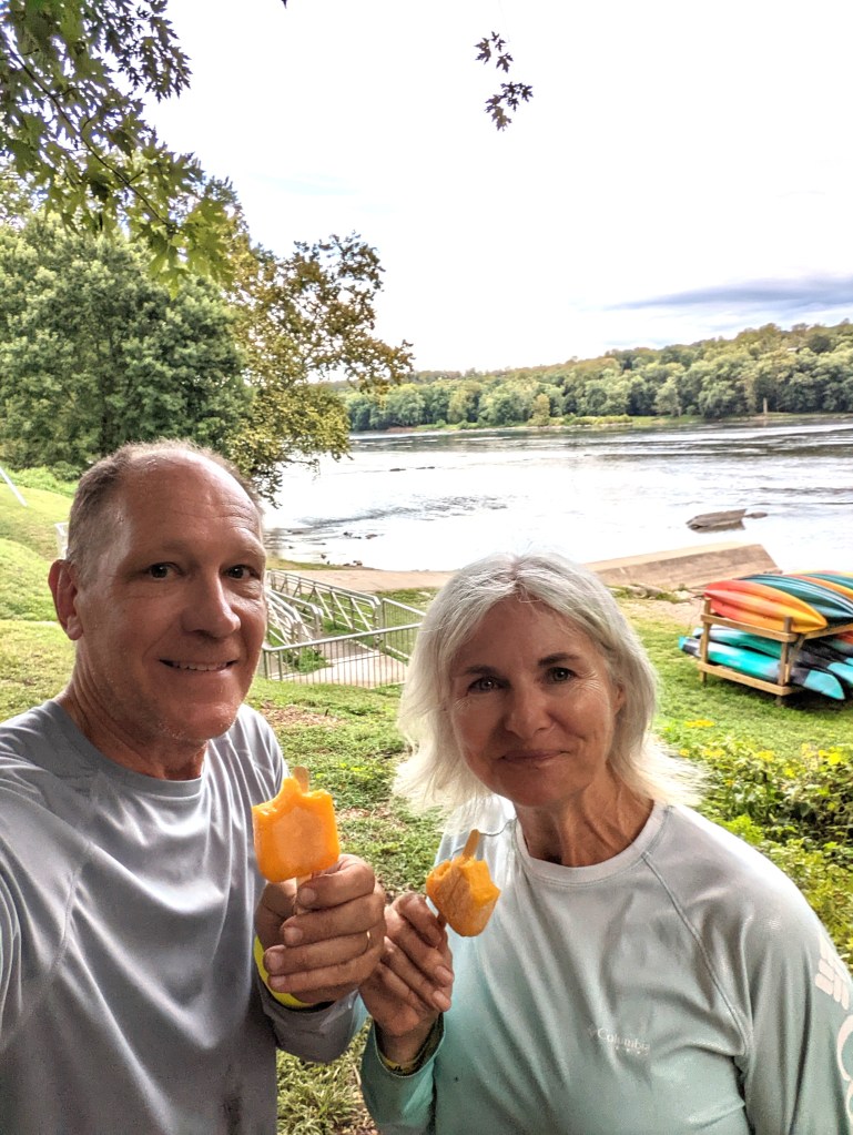
Day 5: Indigo Neck to Williamsport, 40.5 miles
Because we wake up in a mild rain, we forgo cooking breakfast and just get started with Power Bars. We cycle in wooded areas within sight of the Potomac River the whole day. After packing our gear up in the rain this morning, we’re happy to be staying in an AirBnb tonight. Total MTD 238.5.
Day 6: Williamsport to Brunswick, 50.3 miles
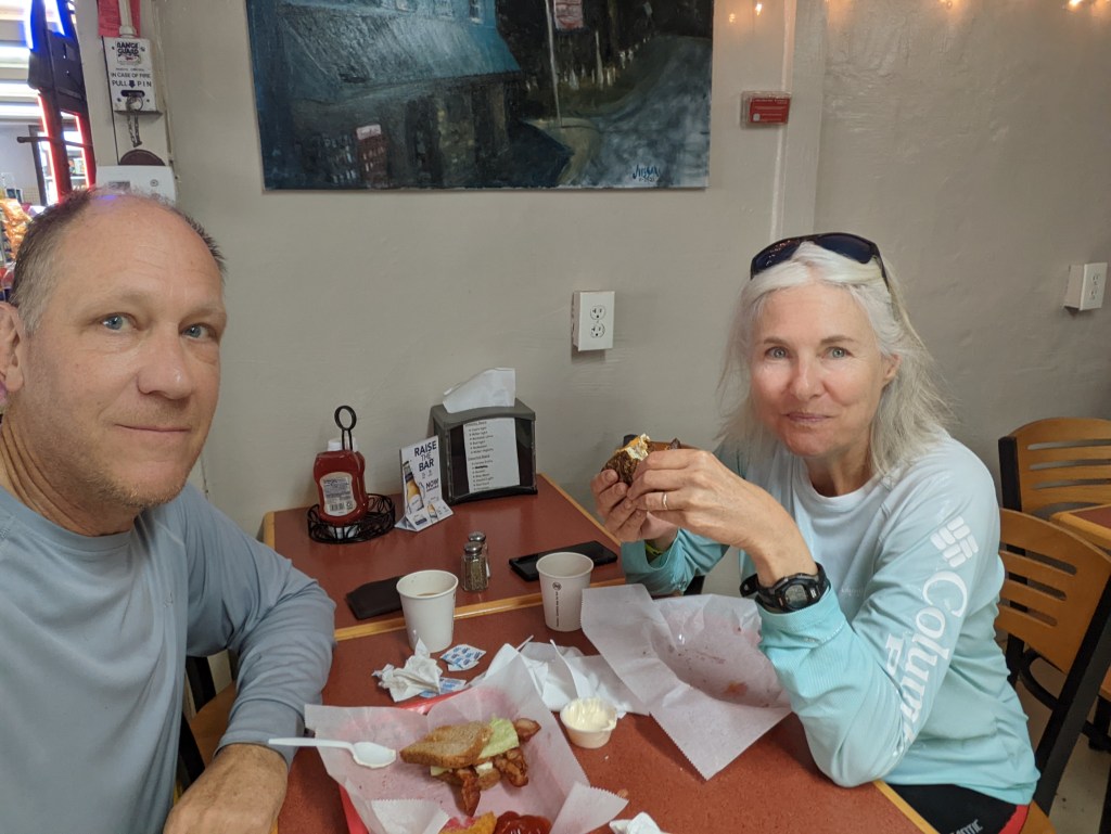
Once again, other than a two-mile hilly detour, we follow the Potomac River most of the way to Brunswick. We get more rain, and our bikes and gear are starting to collect mud and grit. Along the way we go into Harpers Ferry to tour several Civil War historic sites. Total MTD 288.8.
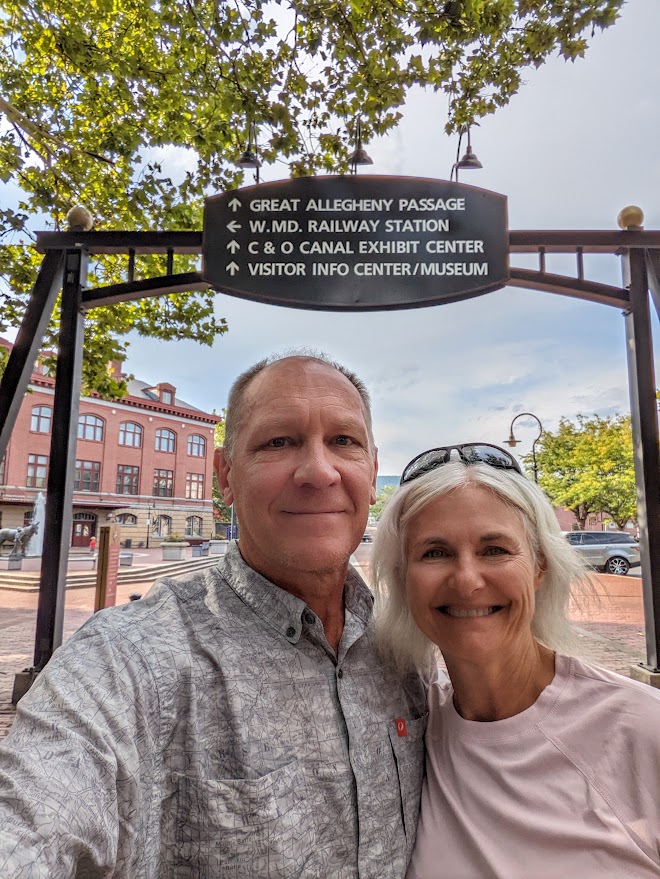
Day 7: Brunswick to Washington, D.C., 58.6 miles
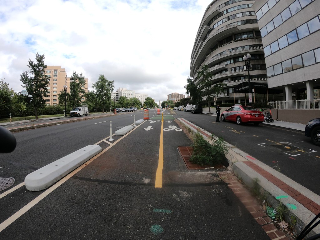
The first 50 or so miles are relatively rural, as almost all the ride has been, so it’s a bit of a shock to see the beginnings of urban life as we enter the outskirts of D.C. The trail becomes paved the rest of the way, but it also is much busier. Total MTD 347.4.

Leave a reply to kodowd3 Cancel reply