Richmond to Danby-Wiske: 14 miles
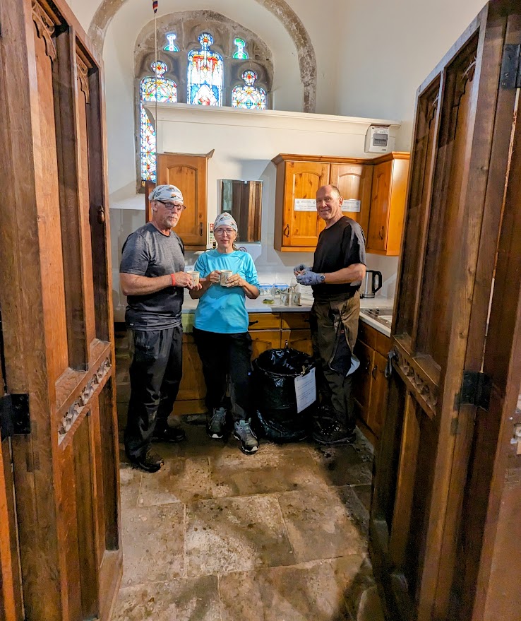
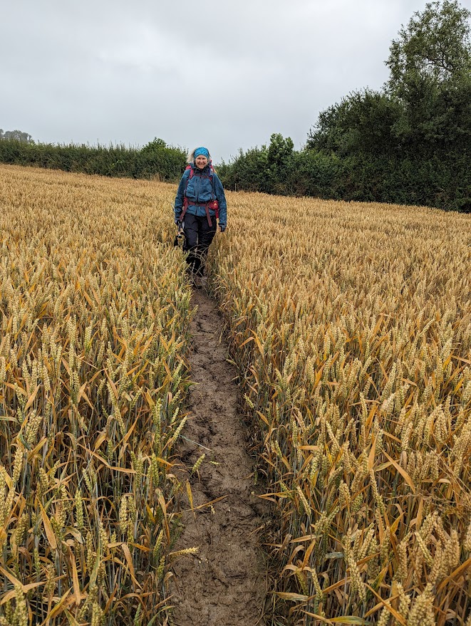
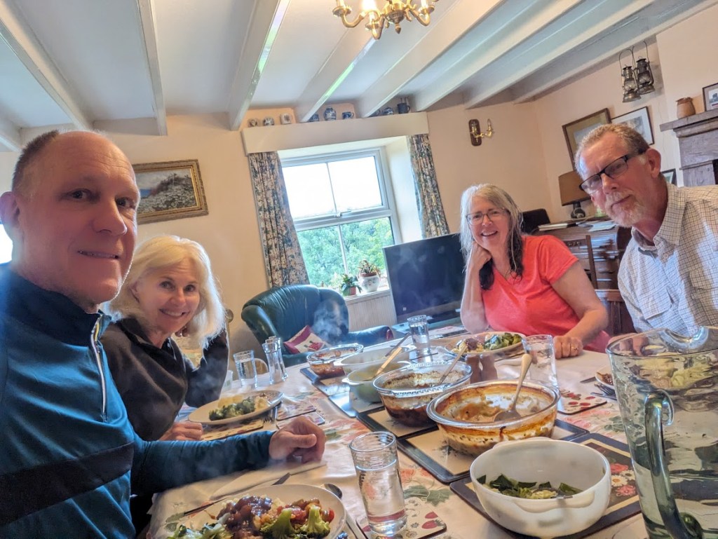
The walk from Richmond to Danby-Wiske is one of the more truly rural walks we’ve had. At times it feels like we could have been walking through the Missouri countryside. We also have one of our best rest stops ever; St. Mary’s in Bolton on Swale lets walkers use their kitchen and supplies hot water and tea. It is a fascinating 14th century church with a memorial stone for a man who is purported to have lived to 169 years old! Total miles to date 142.5.

Danby-Wiske to Ingleby Arncliffe: 9.1 miles
Although our hike is pretty flat today, this is a relatively tough day. We walk in rain, and the corresponding mud, the entire day. Near the end we have to cross a busy four-lane highway. We arrive too early to check in to our B&B, but we find an awesome tea shop to wait in out of the rain. Total MTD 151.6.

Ingleby to Great Broughton: 12.3 miles
Not being rained on sure makes for great hiking. The route takes us up and over several steep hills with amazing views. The countryside varies from forest to moors. We could have walked all day! Only three hiking days left. Total MTD 163.9,

Great Broughton to Glaisdale: 18.1 miles
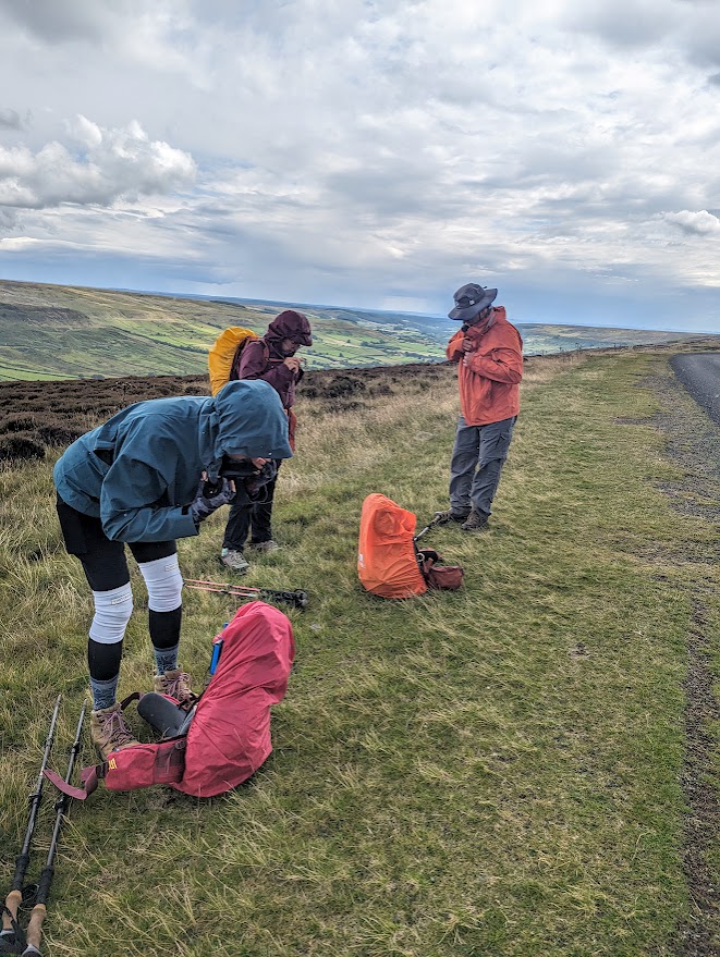
Our hike through the North York Moors National Park is not only the longest of our trip but also the farthest any of us has ever hiked. Fortunately, except for the start, there isn’t a lot of climbing. The day starts off mad sunny but we end up putting on and taking off our rain gear three or four times. Total MTD 182.

Glaisdale to Littlebeck: 9 miles
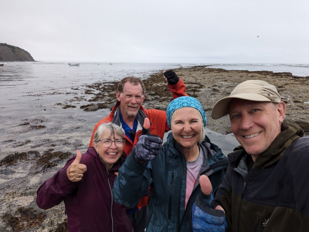
The hike to Little Beck is fairly short and our destination is really, really out in the sticks. So, halfway through we take a bus to the coast and have a look around. It is a fun diversion for a couple of hours, but after we get the bus back we immediately have a long, steep climb with a grade of 30% to get back on the route. There’s only one more day of hiking left. Total MTD 191,
Littlebeck to Robin Hood’s Bay: 12.miles
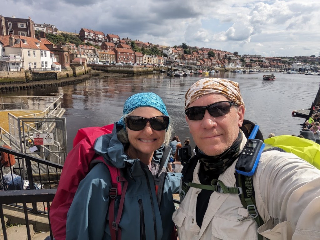
Our last day of hiking is basically the entire hike in a nutshell. We have sun and we have rain (the two usually 15 minutes apart). We have gorgeous walks in the trees, ancient bridges, and pretty waterfalls. We hike through boggy moorland and steep, slippery coastline. At the end of the day our trip ends in Robin Hood’s Bay after a total of 204 miles. We can now claim to be “Coast to Coasters!”
Here is the trip by the numbers:
- Total miles: 204
- Days of hiking: 17
- Avg miles per day: 12
- Overall elevation gain: 33, 724 ft
- Overall elevation loss: 33, 724 ft (we started and ended at sea level!)
- Rest days: 2

Leave a comment