
Most hikers start on England’s west coast in St. Bee’s and head east until they reach Robin Hood’s Bay on the east coast. We’re starting in St. Bee’s and hiking for 17 days with two rest days along the way. Tradition among Coast to Coast hikers is to select a rock on the beach of the Irish Sea in St. Bee’s, carry it the whole trip and then throw it in the North Sea at Robin Hood’s Bay at the end of the hike. We select ours the night before and get ready for Day 1 which will take us mostly along the Irish Sea coast and public footpaths.
Day 1: St. Bee’s to Cleator, 11 miles

Day 2: Cleator to Ennerdale Bridge, 6.3 miles
The hike on Day 2 comes with over 1,700 ft of elevation gain and a well-trodden path on a steep descent. Total miles to date 17.3.


Day 3: Ennerdale Bridge to Borrowdale, 14.3 miles
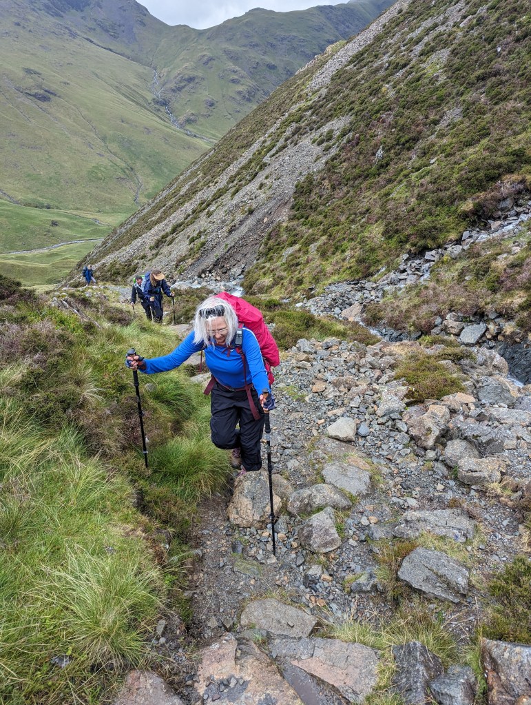
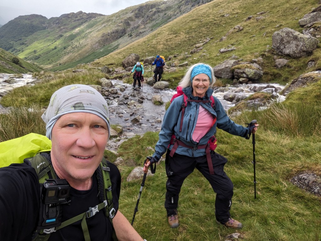
Our trip is taking us into the mountainous Lake District. The hike to Borrowdale has us climbing, descending, donning rain jackets for the rain and then tearing them off 10 minutes later because the rain has either suddenly stopped or we’re so hot and sweaty we can’t stand it. On and off, on and off, on repeat all day. We think the first three miles along Ennerdale Lake are challenging, but then at mile 9.5 we have a climb that gains us around 1,000 ft in elevation in just over a mile. Total MTD 31.6.

Day 4: Borrowdale to Grasmere, 10.4 miles
Things get pretty intense on this stretch. We start out in a downpour and then our path gains over 1,800 ft over the first two miles. Because of recent rains there is water running everywhere, so we have several precarious water crossings over fast-moving streams and some slippery hill climbs where we are on hands and knees scrambling to the next perch. Of course, going down the other side is also steep and hard on our old knees. It is a tough 10.4 miles. Total MTD 42.
Day 5: Grasmere to Patterdale, 9 miles
The challenges of Day 5 seem relatively tame compared to the previous day. We still cover almost nine miles and gain 2,400 ft of elevation, but the rises are gentler, and it’s not raining so it feels easier. Nearly all the towns we stop in are small, similar to today’s stay in Patterdale. You can see how important the steady stream of trail hikers is to the economy of these villages where the local pubs, hotels and shops are full of visitors from all over the world. Total MTD 51.


Day 6: Patterdale to Shap, 17.4 miles
The hike from Patterdale to Shap is brutal. This is the longest day of hiking we’ve ever done. We cross the highest point of the Coast to Coast walk, Kidsty Pike, at 2,559 ft with a total elevation gain of over 4,000 ft. Additional highlights include occasional gale force winds, intermittent fog and a relentless rain the last four miles. Total MTD 68.4.

Day 7: Shap to Orton, 7 miles
We’ve now hiked seven days straight. Today we leave the Lake District and enter the Yorkshire Dales region. Most of our walk is relatively easy, so we make great time. A downpour slows down our last mile, but on the bright side, our inn, like most of our accommodations, is also a pub. Total MTD 76.2.


Leave a comment